
Digital solutions for every stage of the water lifecycle!
Design resilient infrastructure that mitigates flooding, meets regulatory requirements, and optimizes land use. Powerful integrations with BIM, CAD, and GIS tools drive efficiency, compliance, and control across the project lifecycle.
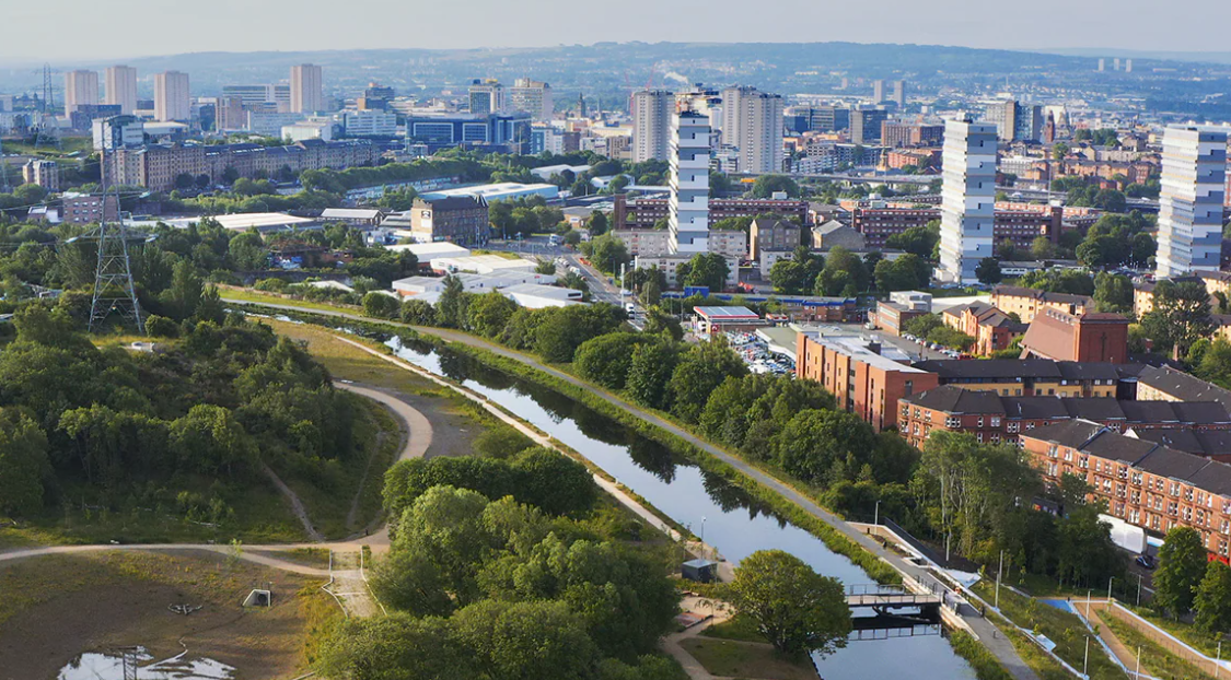
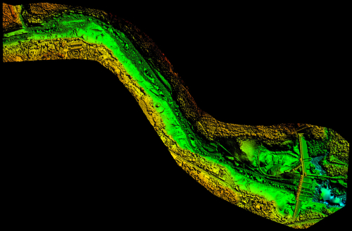
Scottish Canals created a digital twin of the North Glasgow water network, unlocking significant value for the community with high levels of sustainability. Scotland’s first smart canal was designed using Autodesk software.
Securing the future of water
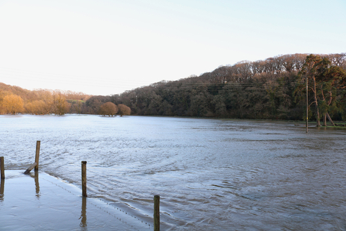
Water is at the centre of our planet’s greatest challenges. Our communities face the impacts of failing water infrastructure, rising costs, and growing populations. The world is looking to our water experts to get this right.
InfoDrainage
InfoDrainage is a full design and analysis solution that designers, developers, landscape architects, engineers, consultants and approval authorities rely on to deliver sustainable, cost effective, reliable and compliant designs.
InfoWorks ICM
InfoWorks ICM is an advanced integrated catchment modelling technology purpose-built to aid water professionals. Plan for emergency scenarios such as flood risks, system expansions and capacity improvements.
InfoWorks WS Pro
InfoWorks WS Pro is an advanced collaborative hydraulic modelling software designed to improve the performance and cost-effectiveness of water distribution networks, so water companies can improve services.
InfoWater Pro
Built on Esri’s AecGIS Pro, this helps water modellers understand water system behaviour and performance geospatially. Used for network model construction, graphical editing, hydraulic simulation and map display generation.